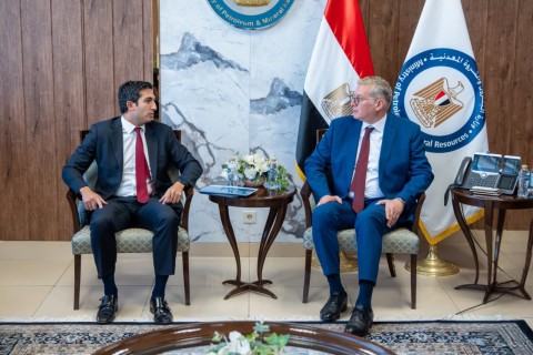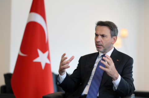
Egypt is planning to begin the first phase of an advanced offshore seismic survey in the Eastern Mediterranean within two weeks, covering 18,000 square kilometers (sq km), to identify new natural gas exploration prospects, Minister of Petroleum and Mineral Resources Karim Badawi said in a ministry statement on October 18.
The survey will use ocean-bottom node (OBN) technology to improve imaging of geological structures beneath the seabed, according to Badawi.
He added that the resulting data is expected to help identify promising exploration areas, guide drilling decisions, reduce technical risks, and attract investment from international energy companies.
The Egyptian Natural Gas Holding Company (EGAS) is implementing the project in partnership with a consortium comprising SLB and Viridien. The broader program aims to cover 95,000 sq km of Egyptian waters in the Eastern Mediterranean.
Badawi said the technology would improve the quality of seismic imaging, particularly in areas where advanced techniques are needed to obtain a clearer picture of subsurface formations.
He added that processing and interpreting the data would help turn geological information into investment opportunities for companies considering exploration activities in Egypt.
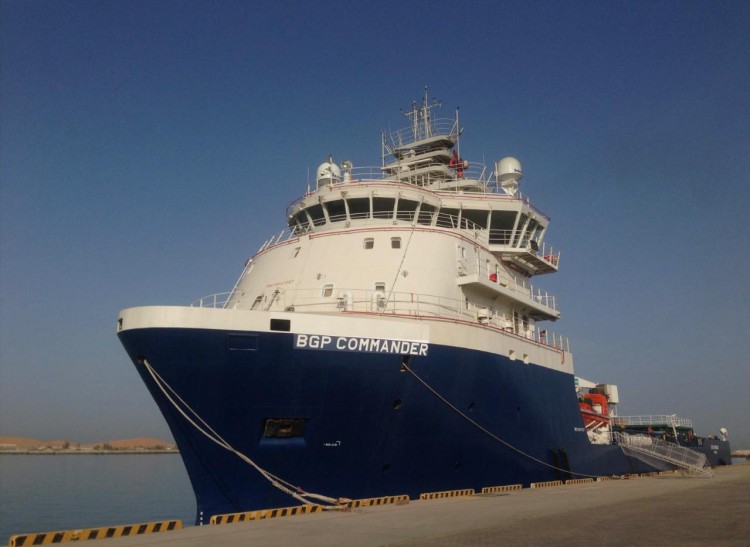
The offshore vessel Commander has arrived at Port Said to participate in the project, with two additional vessels expected to join the operation.
Survey work is scheduled to begin in the Denies area off Port Said and the Ras El Bar area, with operations in both locations planned to continue through the end of 2026.
The consortium is also completing technical and logistical preparations for survey operations to continue into 2027, according to the petroleum ministry.
Egypt has been expanding the use of advanced seismic technology to improve its understanding of offshore hydrocarbon resources. In September 2025, the petroleum ministry announced a seven-year program to survey 95,000 sq km of the Eastern Mediterranean in three phases, with the first phase covering 18,000 sq km.