Egypt is set to conduct a comprehensive airborne geophysical survey of mineral potential nationwide under a Memorandum of Understanding (MoU) signed between the Mineral Resources and Mining Industries Authority and Spain’s Xcalibur Smart Mapping. The project will provide technological solutions for planning and evaluating mineral-rich deposits across the nation.
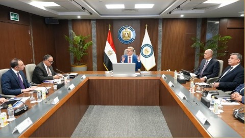
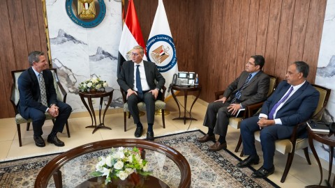
The agreement was signed by Yasser Ramadan, Chairman of the Mineral Resources and Mining Industries Authority, and Bart Anderson, CEO of Xcalibur Smart Mapping, in the presence of Karim Badawi, Minister of Petroleum and Mineral Resources.
Under the MoU, both parties will exchange scientific, technical, and academic documents related to geology and mining, including expected risk assessments. The agreement also permits joint implementation of research and evaluation programs for projects related to geology and mineral resources.
The project represents a national initiative to conduct airborne and satellite-based geophysical surveys across all Egyptian governorates to build a modern, detailed database of the nation’s geological potential. The survey will be divided into six research zones: the Eastern Desert, Western Desert, Sinai, Bahariya Oasis, and Abu Tartur.
The initial stage will integrate historical geological data with satellite imagery available on the digital platform. The first phase will launch the magnetic airborne survey, followed by a second phase focusing on priority mining areas.
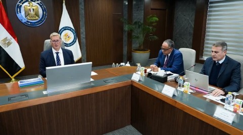
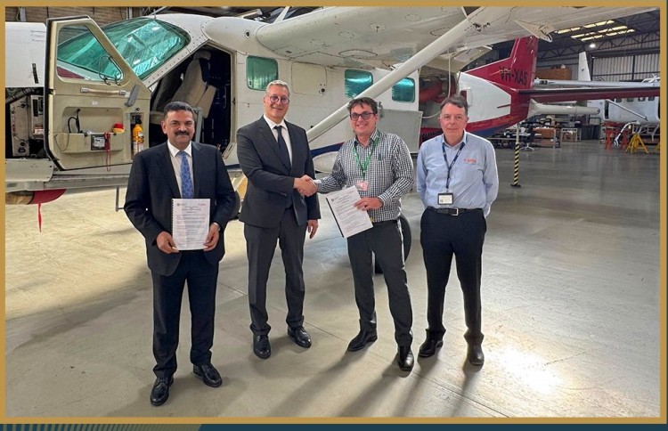
During his tour of Xcalibur’s site, Badawi inspected the aircraft hangar prepared for survey missions, the geophysical sensors used, aviation data systems, and operational safety procedures.
The MoU signing follows earlier discussions between Badawi and Victor Gonzalez, Vice President of Xcalibur Smart Mapping, in September 2025, when the minister announced plans to launch Egypt’s first aerial mineral survey in 40 years. The initiative follows the approval of amendments to Law No. 198 of 2014, which transforms the authority from a service entity to an independent economic body with the capability to conduct comprehensive aerial surveys and process geological data, thereby attracting new investments.