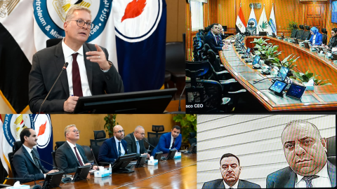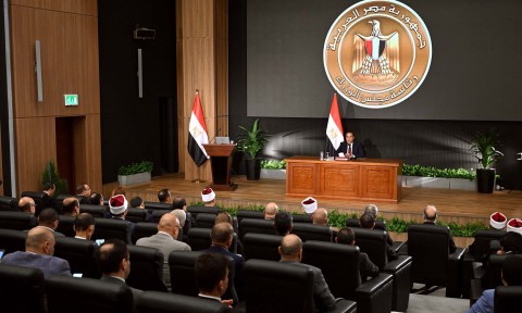
During its weekly meeting, the Cabinet approved a request from the Mineral Resources and Mining Industries Authority (MRMIA) to contract a specialized company to conduct a nationwide airborne geophysical survey.
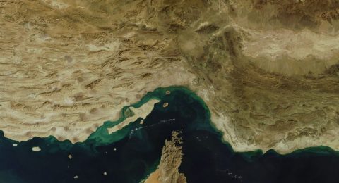
The project will cover six geographic zones and aims to provide accurate, up-to-date data on Egypt’s mineral resources, including their size and locations, to spur investment in the mining sector and maximize the economic potential of Egypt’s mineral wealth.
In November, the MRMIA signed a Memorandum of Understanding (MoU) with Spain’s Xcalibur Smart Mapping company to conduct airborne and satellite-based geophysical surveys across six research zones: the Eastern Desert, Western Desert, Sinai, Bahariya Oasis, and Abu Tartur.
The Spanish firm has extensive international experience in airborne geophysical surveys, having completed more than 1,400 projects worldwide across the mining, energy, and infrastructure sectors, using advanced digital systems and artificial intelligence to analyze multi-source geophysical data.
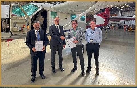
The survey will be implemented using the company’s latest aircraft and technologies, in addition to cooperation with national institutions, among them the Nuclear Materials Authority, whose aircraft will participate alongside Xcalibur’s fleet in partnership with Drone Tech company.
The project represents Egypt’s first nationwide airborne geophysical survey in more than 40 years, aimed at updating the country’s geological map, identifying promising mineral-rich areas, and supporting the offering of new mining investment opportunities.